
❋
JULY 8 - SEPTEMBER 16 | FREEMAPPING QUEER CITIES
SUMMER IMMERSIVE!
Applications open soon. Check back in late March.
DUE May 1
MAPPING QUEER CITIES
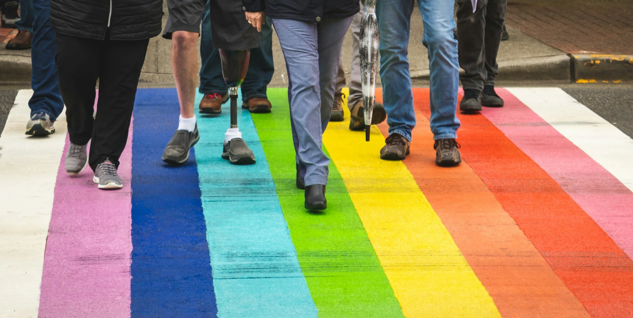
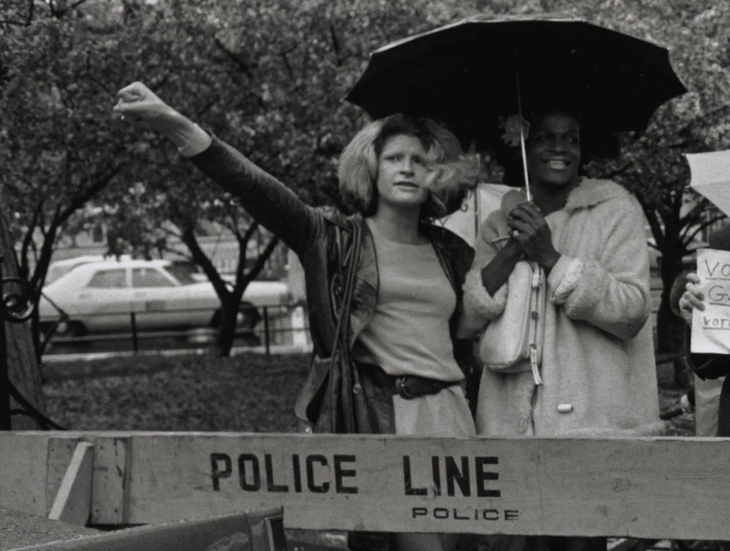
Mapping Queer Cities is an intergenerational summer program open to LGBTQIA2S+ and allied adults (18+) in the New England and Tri-State area. You’ll research, document, and share local queer history. Through guided workshops, archival research, and community storytelling, participants uncover lesser-known histories and contribute to preserving their communities’ stories.
The program is designed as a collaborative, intergenerational learning space where participants learn from one another’s lived experiences while building skills in research, storytelling, and public engagement. With guidance from trans and queer educators, participants develop public speaking and community engagement skills and develop community-based projects. Final projects will be published on the Lavender Education platform, contributing to a growing creative archive.
By centering the experiences of BIPOC, low-income, disabled, and immigrant LGBTQIA2S+ people, Mapping Queer Cities allows participants to see themselves in history—and claim their place in shaping the future.
PROGRAM DATES
July 8, July 15, and August 19
Virtual Sessions: Wednesdays (6:00-7:30PM EST)
July 25 and 26
Overnight trip to NYC for tours of local history and museums
September 16
Final Showcase: An opportunity to share your research with community members and organizational partners. Presenting is optional, but we ask that everyone attends to support and cheer on their cohort!
WHAT WE PROVIDE
Free participation (no tuition)
$500 travel stipend for the in-person trip
A collaborative, intergenerational learning community
Access to a queer history curriculum + online resources
Mentorship from experienced queer and trans educators
Free access to museums, tours, and program activities
A signed copy of Generation Queer
Publication of your work on Lavender Education’s platform
FAQ
Still have questions? Take a look at the FAQ or reach out anytime.
-
LGBTQIA2S+ or allied adults (18+)
Based in New England or the Tri-State area
Interested in queer history, storytelling, or community-based research
Open to intergenerational learning and collaboration
No prior research experience required
-
Participants will create a final project focused on a local queer history topic of their choice. This could take many forms, including:
Written articles
Oral histories/interviews
Creative or visual work
Multimedia storytelling
Your project will be developed with support and will be published on the Lavender Education platform.
-
Participants should plan for:
Three 90-minute Zoom sessions
Independent project work between sessions (a few hours per week)
Participation in one overnight trip to NYC
Final presentation and showcase - presenting is optional, but attendance is expected to cheer on your cohort!
-
Yes. There is no cost to participate.
Participants receive:
A $500 travel stipend for the overnight trip
Free access to all program activities, including tours and museum visits
All learning materials and resources
By taking part in the program, you are expected to:
Attend all virtual sessions and the in-person trip
Conduct independent research on a local queer history topic
Create a final project (article, artwork, oral history, or other format) for publication
Present your work to peers and community members
Complete pre- and post-program evaluations
Book and manage your own travel (transportation, lodging, meals) for the NYC trip
-
Yes. The trip is a core part of the program experience, offering opportunities for community building and place-based learning.
-
We are committed to making the program accessible. You’ll be able to share your needs in the application, and we will work with you to provide appropriate support wherever possible.
-
You will have a completed project that may be published on the Lavender Education platform
You’ll be part of a growing network of participants, educators, and community partners
You’ll leave with skills in research, storytelling, and public history
-
We expect to select a small cohort (10-12 participants) to ensure a supportive, collaborative learning environment.
-
Applications open: Late March
Deadline: May 1 at 5:00PM EST
Decisions sent: May 15
-
We’re looking for:
Genuine interest in queer history or community storytelling
Curiosity and openness to learning
Willingness to participate fully and contribute to a group environment
You don’t need to have a fully formed project idea—just a sense of what interests you.

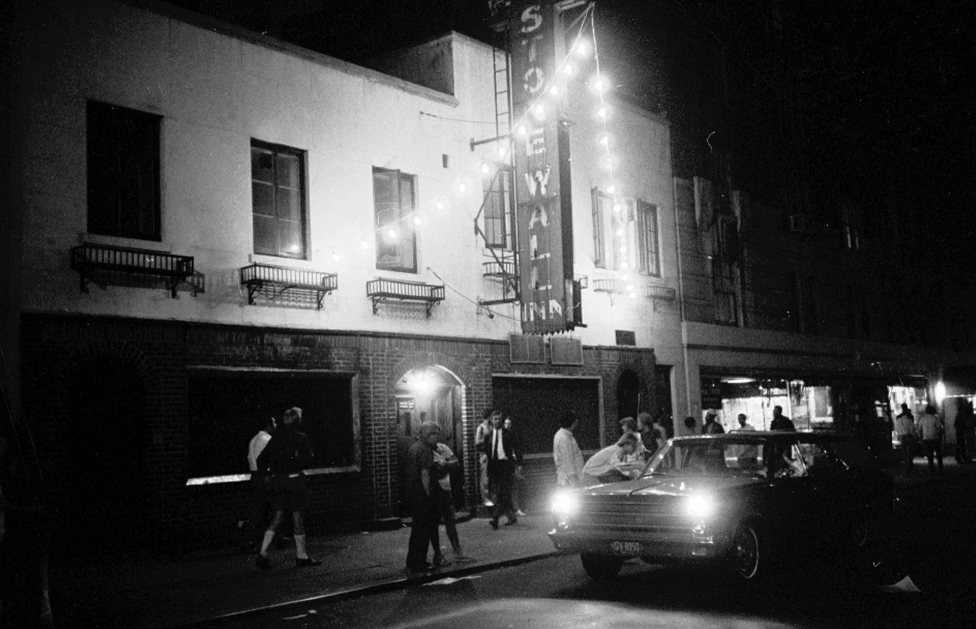
Mapping Queer Cities is hosted in collaboration with YWCA Cambridge. Thank you to our partners for providing educational experiences and tours, including the Stonewall National Monument Visitor Center.